
 Desert Sun News
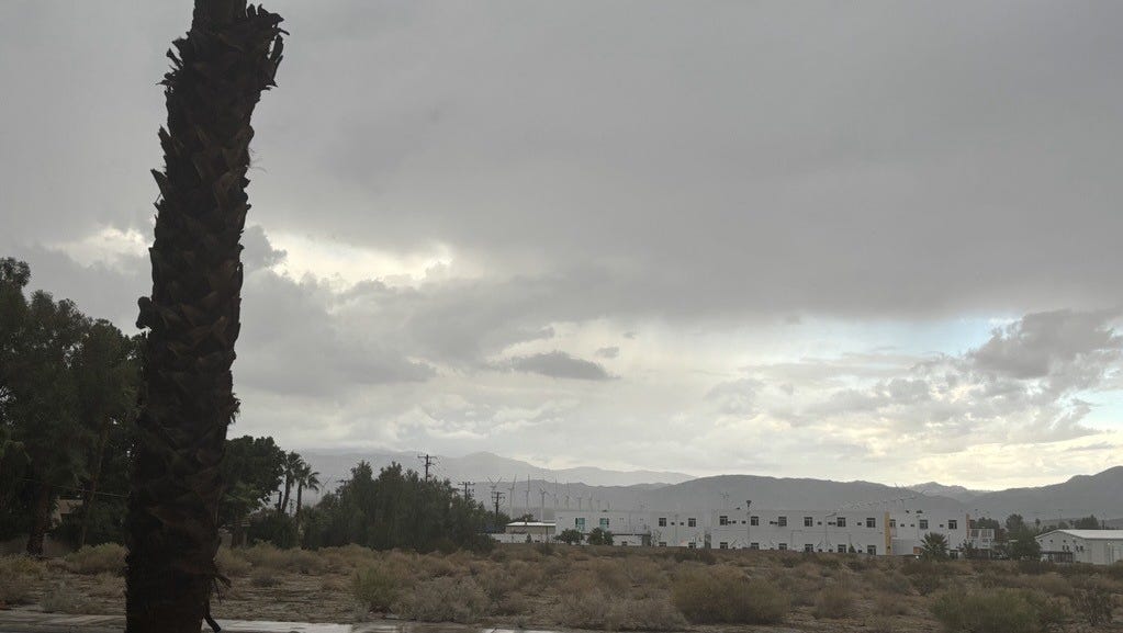
A thunderstorm was expected to bring wind, hail and other impacts to an area centered on Whitewater and the western edge of the Coachella Valley Friday afternoon.
At around 2:30 p.m. Friday, the National Weather Service issued a statement advising that doppler radar was tracking a strong thunderstorm moving north at 10 mph.
The warning stated that the storm could produce half an inch of hail along with wind gusts of 50 to 55 mph with the strongest impacts likely to be seen in an area encompassing Whitewater, Cabazon, Pioneertown and northwestern sections of Palm Springs and Desert Hot Springs.
The weather service advised that people in those locations should seek shelter inside a building.
This is a developing story.

 Los Angeles Times
 People Top Story
 Detroit News
 NBC Bay Area Dixon News
 Sarasota Herald-Tribune Sports
 The Babylon Bee
 Atlanta Black Star Entertainment
 The Shaw Local News Sports
 Bored Panda