
 KOLR10 News
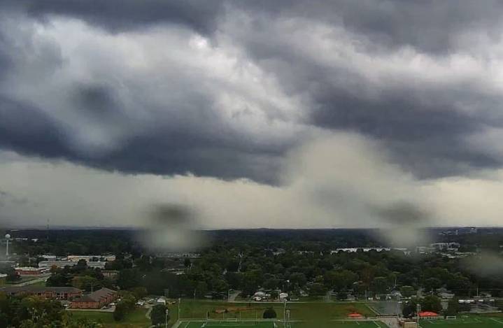
The National Weather Service has issued a severe thunderstorm watch for the majority of counties in Southern Missouri and Northern Arkansas.
While we saw thunderstorms to kick off the morning hour, an additional round of storms is expected tonight. This evening's round of activity has the necessary ingredients to pack a larger, more severe punch.
At this time, all modes of severe weather are possible. This means damaging winds, large hail, flooding, and I can not rule out a spin-up tornado.
My main area of focus is south of I-44, more specifically, south-central Missouri and north-central Arkansas. In this location (Taney, Ozark, Howell, Marion, Baxter, and Fulton County), the atmosphere is primed for strong storm development.
The timeline for severe weather is from now until roughly 7

 WEIS Radio
 KARK
KARK America News
 New York Post
 KIMT News 3
 KSNB Local4 Central Nebraska
 KKTV 11 News
 WCPO 9
 Hawaii News Now
 KTAL-TV
 Santa Maria Times Local
 Raw Story