
 MassLive
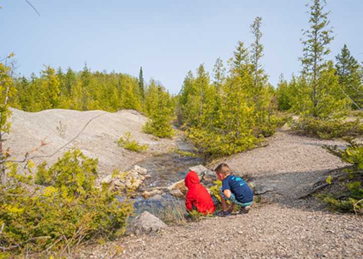
From weather patterns to chemical reactions, what contributes to how the sediment beneath your feet forms is complex and extensive.
And if you’ve ever stopped to pick up a cool rock or check out the pebbles lying in the sand, you may have even questioned what exactly you were looking at.
Whether you’re an avid rock collector or just curious about the world around you, the U.S. Geological Survey has released a map outlining “a unique regional view of geology at and beneath the Earth’s surface,” designed with the public in mind.
Read more: Winter 2025 weather forecast: National map shows breakdown by region; what to expect
The map, which is hailed as the “most detailed national-scale geological map of the country to date,” offers the public an opportunity to explore what minerals a

 Local News in Texas
 Women's Wear Daily Retail
 Associated Press US and World News Video
 Arizona Daily Sun
 The Babylon Bee
 Fairbanks Daily News-Miner
 The Washington Post
 The Daily Sentinel
 KCRG Iowa
 The Washington Informer