
 News4JAX
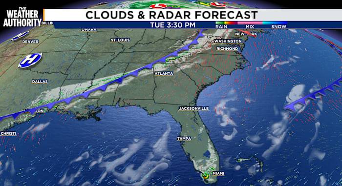
A warmer afternoon as clouds pass by. Mostly clear with patchy to dense fog overnight and early Wednesday morning. Temperatures will continue to run above normal on Wednesday as a cold front approaches. Behind the cold front, fall temperatures return through Saturday. Increasing clouds with a chance of showers late Sunday.
Tonight: Clear and cool with patchy to dense fog.
Wednesday: Patchy to dense fog early, then becoming mostly sunny to partly cloudy. Morning lows will be in the 50s and 60s, with afternoon highs in the upper 70s to 80s. Winds will be from the NW at 5-10 mph. Expect mostly clear skies and cooler temperatures behind the cold front.
Thursday and Friday will bring a morning chill as we wake up 40s and 50s inland, 60s along the beaches. Afternoon highs will reach the 70s t

 FOX 13 Seattle King County
 AlterNet
 Pro Hockey Rumors
 TODAY Pop Culture
 CBS News