
 Newsday
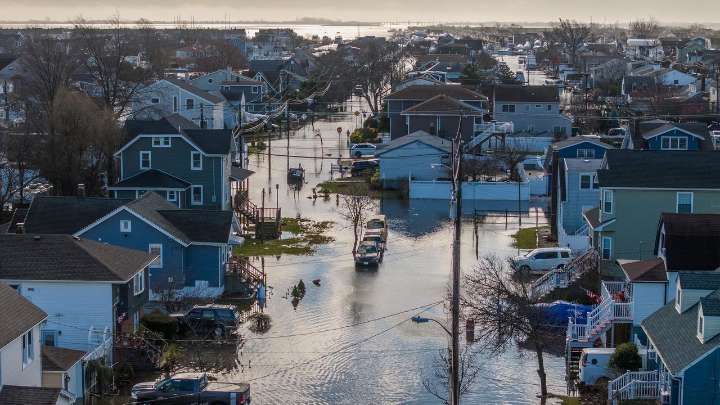
A new first of its kind study shows that more than 27,000 businesses in Nassau and Suffolk counties could risk economic losses due to flooding, with risk levels ranging from moderate to high to extreme.
The Islandwide study mined data from Federal Emergency Management Agency flood zones, "anectodal zones" along the South Shore and New York State's "downstate coastal risk areas" that helped determine flooding risk on the North Shore. It developed detailed maps showing the flood risk jurisdictions where many businesses are located, said Richard Annitto, vice president of GIS at LiRo-Hill. The group conducted the study in collaboration with the Long Island Regional Planning Council, which financed it.
During a presentation of the "Islandwide Economic Flood Risk Study" at a council meeting t

 America News
 NBC News
 The Journal Gazette
 The Cut
 East Valley Tribune
 Reuters US Business
 THE CITY
 The Denver Post
 Raw Story