
 WKYT
WKYT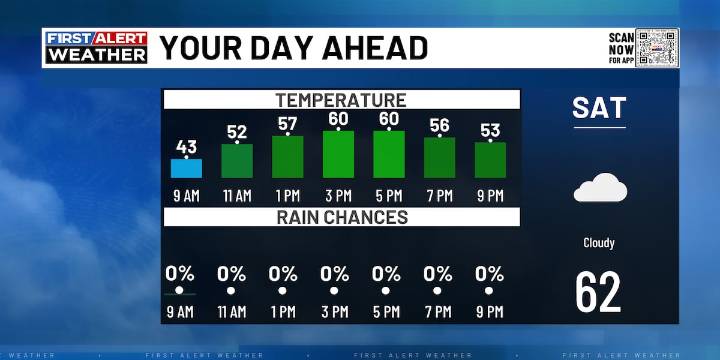
LEXINGTON, Ky. (WKYT) - Kentucky residents can expect a cool and dry start to the weekend, with lingering frost concerns for the far eastern counties along and east of the I-75 corridor early this morning, as a Frost Advisory remains in effect.
With clouds gradually thickening from the west, today’s highs will range from the upper 50s to low 60s, delivering an overall pleasant autumn Saturday, though there’s a slight chance for a few sprinkles or a passing shower by this evening.
Looking ahead, the first of two weather systems arrives Sunday night into Monday. Rain chances will build from the west, increasing across the southern half of the state as a low-pressure system tracks just to our south. While showers may affect most areas, southern and central Kentucky will likely see the heavi

 WAVE 3 News
 Aljazeera US & Canada
 NBC4 Washington
 Santa Maria Times Safety
 CBS News