
 ABC News AU
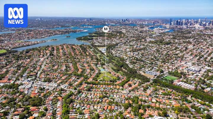
In the debate about Sydney's housing situation and the protection of the city's heritage buildings and suburbs, there's a map that does the rounds.
It comes from a NSW Productivity Commission report (2024) .
It shows that roughly one-quarter of the residential-zoned land within 10 kilometres of Sydney's CBD is subject to some form of heritage protection.
It's used by YIMBYs (Yes In My Backyard) to show how absurd the city's heritage movement has become.
They say it highlights how overzealous local governments have put huge tracts of land off-limits to new homes in Sydney's most-desirable areas.
See the map below:
The map is very evocative.
Heavy splotches of red cover a massive area of inner Sydney, on both sides of the harbour. It leaves the impression that the heritage problem m

 Local News in New South Wales
 Raw Story
 AlterNet
 The Hill Politics
 Detroit Free Press