
 Mirror
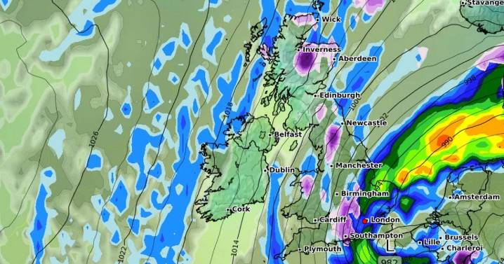
Snow appears to be on the horizon as weather maps suggest Brits face six days of flurries across the country - as much as 5cm could fall per hour in some places
Advanced weather modelling maps show a barrage of snow could soon hit the UK, landing from the far north of Scotland to the south coast of England .
The Arctic flurries look set to get underway on November 14, with the GFS weather model showing almost all of Scotland engulfed in snow at around 6pm. Where the snow is most intense, in eastern and central regions, the white stuff could be falling at a rate of around 5cm per hour.
The snow is tracked to move southward and hit higher ground in northern England on November 15. Northern Ireland also appears to be in the firing line, with 1cm per hour on the cards. And on lowe

 YourTango Horoscope
 NBC News
 Law & Crime
 AlterNet
 CoinDesk