
 Idaho News 6
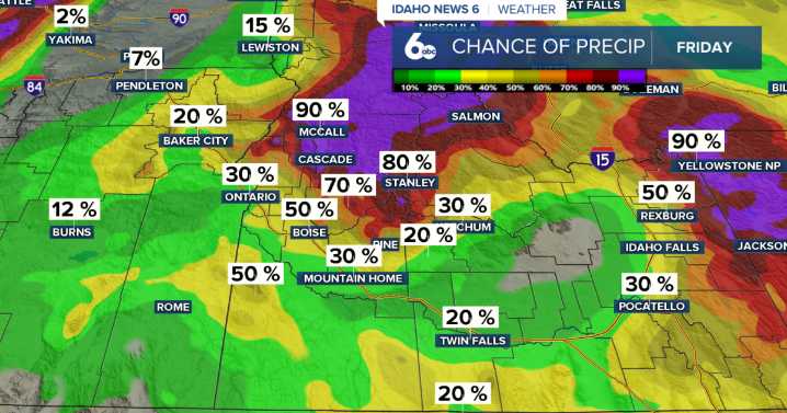
Happy Friday, we've made it to the weekend!
An upper-level disturbance moving along the Oregon–Washington border this morning is bringing scattered showers to the mountains of east-central Oregon and west-central Idaho. By early afternoon, that rain band will weaken as it drops south toward the Burns–Mountain Home line. Any lingering mountain showers will taper off by sunset, with only a couple of inches of snow possible above 6,500 feet.
Idaho News 6
Behind the system, breezy northwest winds will develop through the afternoon, with gusts of 20–30 mph across open terrain. Skies will clear tonight as high pressure builds overhead, setting up a dry and quiet weekend. Sheltered valleys could see patchy fog early Saturday morning, while mountain areas warm more quickly under sunny skies.
I

 FOX 26 Texas
 The Weather Channel
 Florida Today
 Deseret News
 WSMV 4 Nashville
 WMAR-2 News
 WKOW 27
 Watertown Public Opinion
 Fox 11 Los Angeles Sports
 WIS News 10
 Associated Press US News