
 WWSB
WWSB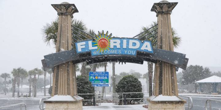
SARASOTA, Fla. (WWSB) - If you’re already pulling your jacket out of the closet (yes, in Florida), you’re not imagining it, a dramatic early-season cooldown is headed our way for the Suncoast.
Sunshine, palm trees and 80° highs are about to give way to brisk winds, chillier nights and a weather story you’ll want to share.
What’s happening
A strong cold front is diving south out of Canada and pushing into our region by Monday night into Tuesday, with drier, colder air slamming in behind it.
Temperatures that have felt more like early summer will be replaced with a crisp bite in the air. Meteorologists are comparing this to one of the coldest early Novembers in the Southeast in years.
Coastal vs. Inland: Tonight into Sunday
Tonight: Partial clouds, low chance of a sprinkle (10-20%).

 FOX 4 News Arlington
 Orlando Sentinel
 New York Post
 WCTV
WCTV Star Beacon
 Mediaite
 5 On Your Side Sports
 Raw Story