
 CBS Colorado
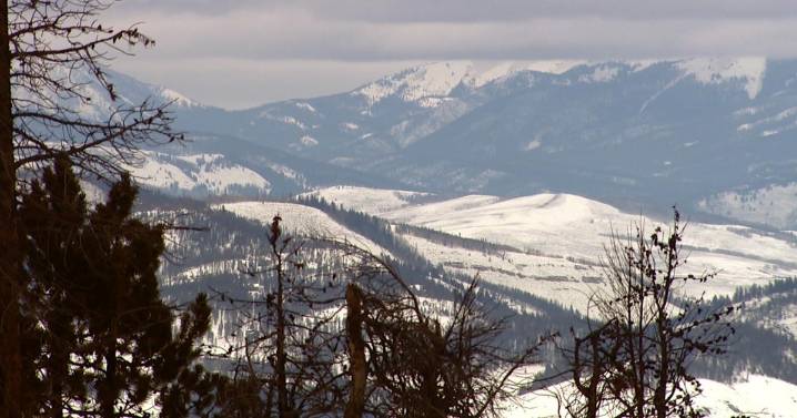
Colorado's topography is one of a kind. The state's lowest point sits along the Arikaree River in Yuma County at 3,317 feet, while the highest point towers atop Mount Elbert at 14,438 feet, roughly half the cruising altitude of a commercial jet.
That incredible difference in elevation often decides which part of Colorado cashes in during a snowstorm . Three major features drive northern Colorado's weather patterns: the Continental Divide, the Palmer Divide, and the Cheyenne Ridge.
As air rises, moisture is squeezed out like a sponge, cooling and condensing into clouds and snow. When that air sinks on the other side of the mountains, it dries and warms. So, if you're on the rising (upslope) side of the wind, that's where you'll usually find the biggest snow totals.
Let's start with t

 WISC-TV Channel 3000
 WKOW 27
 WMTV NBC15
 WCTV
WCTV News Channel 36
 KNOE
KNOE FOX 10 Phoenix Latest
 Hawaii News Now
 KIMT News 3
 FOX Weather