
 Edmonton Sun
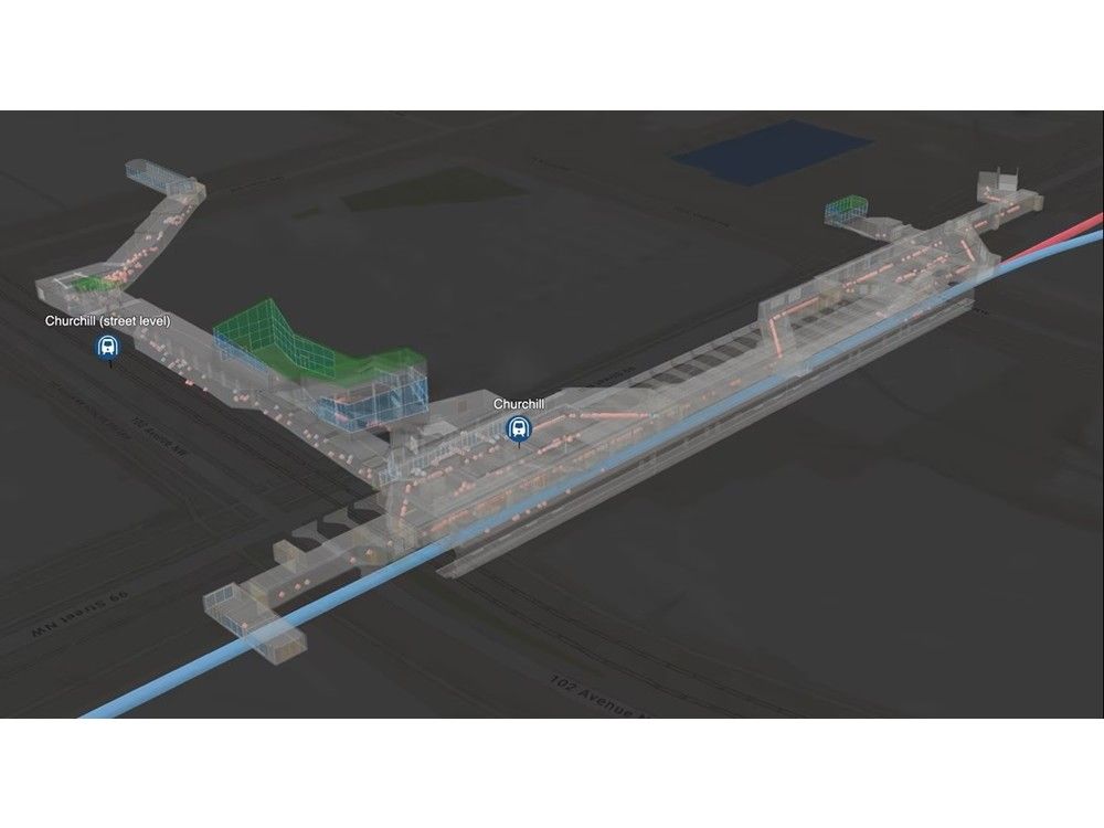
Public safety is top of mind for Edmontonians. Across the city, councillors and Mayor Andrew Knack have repeatedly said it was one of the main issues brought up at doorsteps during the municipal election, particularly around the public transportation system.
To help mitigate risks to the public in the city’s growing transportation network, Edmonton Police Service (EPS) and a geographical mapping company called Esri Canada are partnering to develop an underground tracking system to help police co-ordinate responses at Churchill Station.
Dubbed the Edmonton Transit Enhanced Community Safety System (ETECS), the plan is to track officers in real time as they move through the underground complex.
“ETECS is a proof of concept for a community safety system, which uses advanced geographic infor

 Canada News
 Wheeling Intelligencer
 ESPN Cricket Headlines
 People Top Story
 5 On Your Side Sports
 America News
 TheYoungTurks Video