
 ClickOrlando
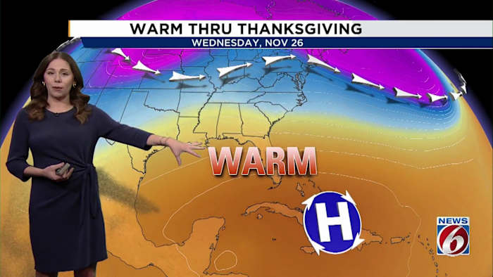
ORLANDO, Fla. – A large ridge of high pressure will remain a dominant weather feature over the next few days, keeping a warmer and mostly dry stretch in place for Central Florida.
Tuesday
A few quick coastal showers are possible into early Wednesday, but rain chances remain low at 20% or less.
Highs stay in the low to mid-80s, and patchy nighttime and early-morning fog is possible thanks to light winds.
Drier air near and north of I-4 may prevent significant fog formation in that area, however.
[VIDEO BELOW: How to get most out of free News 6 Weather App]
Weekend
As the weekend nears, a front approaches from the north and helps turn winds offshore briefly, but it weakens as it reaches the state.
Expect temperatures to stay warmer than normal, in the low 80s, with upper 70s along

 Orlando Sentinel
 ABC News
 WCJB-TV20
 WPTV West Plam Beach
 AlterNet
 The Daily Bonnet
 The Daily Beast
 The Fashion Spot
 People Top Story