
 KSL 5 TV
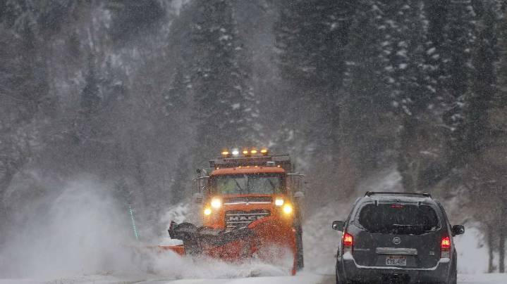
SALT LAKE CITY — After a slow start to the season, parts of Utah could soon be in line for its strongest wave of snow yet, thanks to a projected change in the jet stream.
The National Weather Service issued a winter storm watch for the Wasatch and West Uinta mountains, which could receive 8 inches to 2 feet of snow or more between late Thursday and late Saturday. The Wasatch Back is also included in the alert, although totals aren’t expected to be as high.
It warns that snow “may be heavy at times,” especially between Friday night and Saturday morning.
“What I’m seeing in the models is our first hint at potentially a significant snowfall event in the northern mountains,” says KSL meteorologist Matt Johnson. “We have our fingers crossed, and we’re hoping this thing pans out because right

 KSL Utah
 Deseret News
 KSL NewsRadio
 AlterNet
 The Conversation
 CNN Politics
 Tribune Chronicle Community