
 Bring Me The News
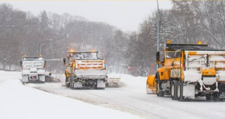
Bring Me The News meteorologist Sven Sundgaard says Tuesday's snowstorm is going to be "one of those systems where 10-mile shifts will matter" significantly, as the storm's track will be accompanied by a very tight gradient with sharp snowfall cutoffs along the rain/snow line.
Tuesday's storm is the latest in a series of clippers that have smacked Minnesota for the last two weeks. The National Weather Service describes the system as the "next car coming in the clipper train," which is the "strongest and most complex of the waves we will have experienced since this all started Thanksgiving weekend."
The National Weather Service has issued a winter storm watch for the northern half of Minnesota and Wisconsin, extending from northwest to southeast—the watch box tracks along Interstate 94.

 Local News in Illinois
 America News
 1011 Now Lincoln
 WCBI-TV
 The Seattle Times
 WWSB
WWSB KSNB Local4 Central Nebraska
 Hawaii News Now
 New York Post
 House Digest