
 WLWT
WLWT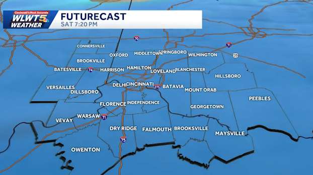
CINCINNATI —
We have a winter wallop coming our way: Two accumulating snows and then temperatures in the single digits. We may be even down to zero by Monday.
Click through the gallery below to see the full hour by hour Advertisement WLWT Slideshow 15 photos
LIVE RADAR // LATEST WEATHER ALERTS // TRAFFIC MAP
Clipper number one comes in Thursday night, likely after 8-10 p.m. We will start to see snow in the southwest and it expands northeast overnight.
Snow will continue through the morning rush on Friday. We are anticipating snowfall to be widespread at 3-4 inches of accumulation, with some towns potentially getting up to five inches of snow.
South of the river looks more likely to get the higher totals. This will have a major impact on Friday morning's commute. Frida

 AlterNet
 America News
 IndyStarSports
 CNN Politics
 Raw Story