
 WRCB-TV
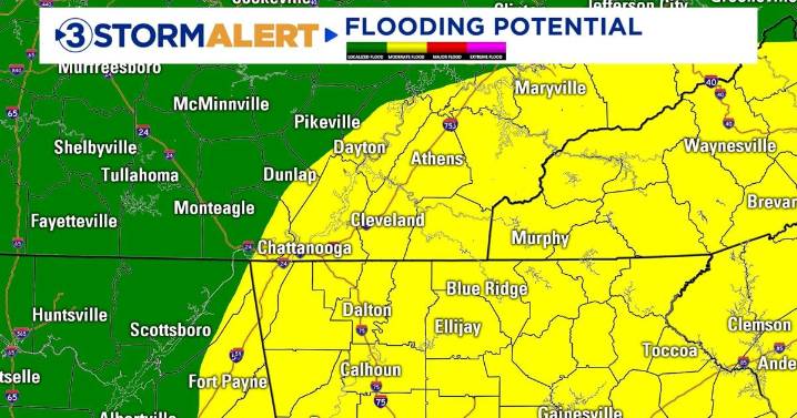
Good morning! Today will feature higher rain chances thanks to an upper-level low over the Southeast. This system will bring in abundant moisture for much of the Deep South, including the Tennessee Valley. Slow-moving storms will increase the risk of localized flash flooding, especially during the afternoon and evening. Some areas could pick up as much as 2-4" of rain. Rain chances and increased cloud cover will keep highs in the lower 80s.
Another round of tropical-like downpours will be possible on Wednesday. Locally heavy rain could lead to additional flooding concerns, especially for areas that pick up heavy rainfall today. Temperatures will hold steady in the 80s most of the day.
Scattered storm chances will linger into Thursday before we trend drier heading into the weekend. Temper

 America News
 Yahoo Canada
 WRAL News
 Columbia Daily Tribune
 Ocala Star-Banner
 Boing Boing
 Raw Story
 The Hill
 The Hard Times