
 The Canadian Press
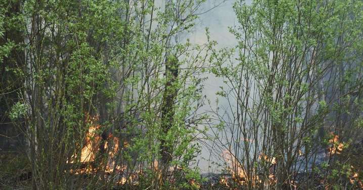
WINNIPEG - Images from space and artificial intelligence can help detect areas prone to extreme wildfires, researchers suggest, after satellite photos showed dry parts of Manitoba ahead of its devastating wildfire season.
Scientists from the University of Ottawa and Université Laval in Quebec used data collected by NASA, the European Space Agency and the Canadian Drought Monitor to review areas hit by fast-moving blazes in late spring.
 CASTANET
 Local News in Ontario
 Local News in Nova Scotia
 National Post
 CTV News
  Canada News
 WJLA
WJLA