
 Space.com
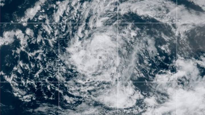
Satellites are tracking Tropical Storm Erin from space as it steadily gathers strength over the Atlantic Ocean. Currently, Tropical Storm Erin is expected to intensify and could become the first hurricane of the 2025 Atlantic season.
The storm, which formed from a tropical wave that drifted off Africa on Aug. 11, has shown increasingly organized cloud bands and intensifying thunderstorm activity in recent imagery from satellites operated by the National Oceanic and Atmospheric Administration (NOAA). Tropical waves are low pressure areas that typically move from east to west across the tropics and absorb warm ocean air, forming clouds and thunderstorms as they do, according to NOAA.
Erin developed in the eastern Atlantic, moving westward from the Cabo Verde Islands at about 20 mph (32 km/

 CBS News
 Daily Voice
 New York Post
 WENY News
 ICE News
 Breitbart News