Hi-resolution computer modeling shows some wildfire smoke returning to eastern Wisconsin. Some impacts to air quality are possible, but it will not be as severe or pervasive as the last round of smoke. Sunshine continues through at least Friday before our next chances of rain arrive.
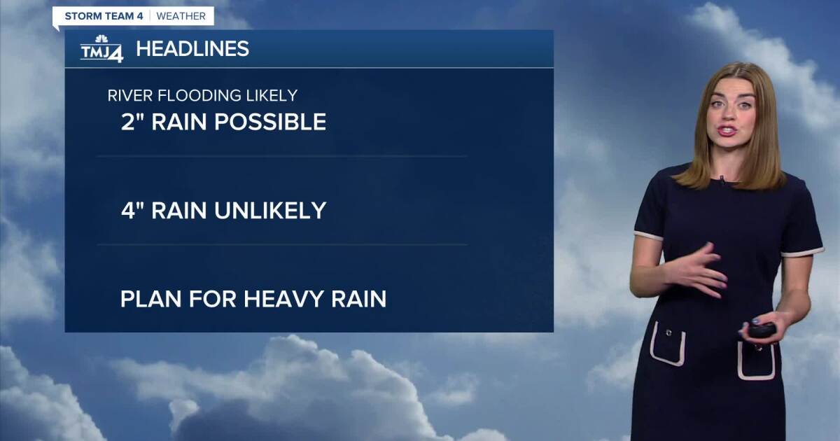
Over the weekend, a corridor of showers/storms sets up across Minnesota and northern Wisconsin. Most of this rain stays North, but any change in track could lead to showers/storms in SE Wisconsin. The best-case scenario involves weekend rain staying North and then drifting southward towards Monday. The worst-case scenario involves rounds of storms that move toward southern Wisconsin over the weekend in addition to the Monday/Tuesday chances of rain. This scenario could lead to a rapid return to flooding condi

 TMJ4 News

 Fox 11 Los Angeles Sports
 Medscape
 Seeking Alpha Stock
 FOX 5 DC
 AlterNet
 Vox
Vox Raw Story