
 The Georgia Sun
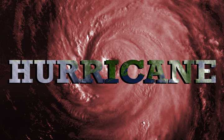
Winds stay away. Waves do not. Residents from the Coastal Empire and Lowcountry should plan for rough surf and dangerous currents next week due to Hurricane Erin.
🌊 Why It Matters: Lives are at risk in strong rip currents. According to the National Hurricane Center, distant storms can send powerful swells that turn a beach day into an emergency in seconds.
🏝️ What’s Happening: Forecasters at the National Hurricane Center say Hurricane Erin will pass well offshore, roughly 500 miles east of our coast, while growing into a large hurricane. Local forecast guidance shows its swells arriving early in the week.
Monday: Breakers near 3 to 5 feet, stronger late day, per regional modeling.
Tuesday through Thursday: Surf over 5 feet at times, with sets near 8 feet possible, forecasters say

 New Jersey News
 KWWL
KWWL WITN-TV
 WBRC
WBRC KOMU 8
 Duluth News Tribune
 Fosters Daily Democrat
 WKOW 27
 Florida Politics