
 ClickOrlando
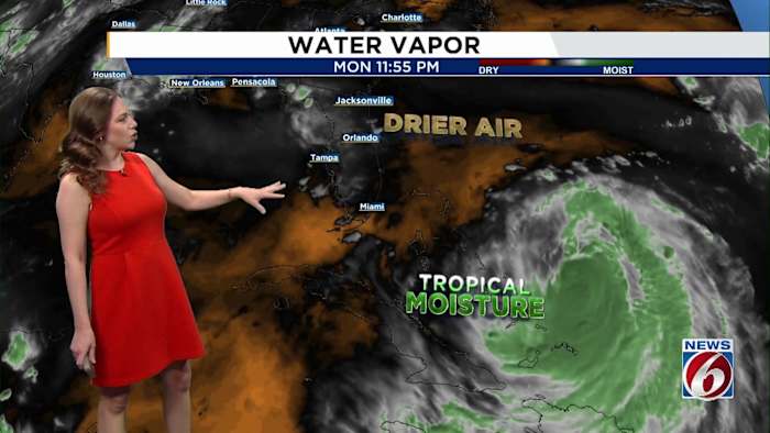
ORLANDO, Fla. – Rough surf, strong rip currents and hazardous beach conditions are expected to impact Central Florida as Hurricane Erin remains well offshore.
Erin on Tuesday was tracking north and will make its closest approach to Florida early Wednesday, passing more than 400 miles east of the Space Coast. Though the storm’s path remains out at sea, Erin will continue to send strong swells toward the coast. No description found
Conditions for beachgoers and boaters will be dangerous all week, and entering the water is strongly discouraged.
Expect breaking waves of 5 to 8 feet and an ongoing high risk of rip currents, especially during high-tide cycles (roughly 5–7 a.m. and 5–7 p.m.).
A High Surf Advisory begins Tuesday afternoon for Flagler, Volusia and Brevard counties. Erin Co

 WCJB-TV20
 WHNT News 19
 WBRZ News
 FOX 13 Tampa Bay Crime
 FOX 5 Atlanta Crime
 NBC News
 York Dispatch
 Orlando Sentinel
 FOX Weather
 CNN
CNN MENZMAG