
 The Bay City Times
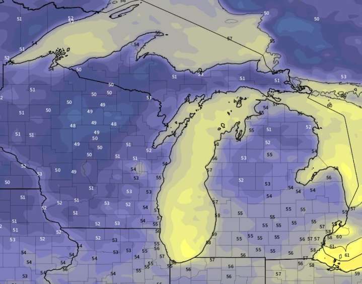
A weather feature called a cold front is going to bring us our first fall-like feel very soon.
Look at the upper-air forecast as we head into the weekend and early next week. You can watch the big bend in the jet stream form. This is a strong upper-air disturbance forming. It will pull much cooler air from aloft over central Canada. This cooler air is heavy and will surge toward Earth’s surface just north of Michigan and then sweep into Michigan.
We should start to feel the fall-like air sometime Sunday. The cool air will last through next Tuesday.
Here is the surface temperature anomaly forecast from the weekend to next Tuesday. The blues and greens you see signify below normal temperatures.
This means we eventually settle in to temperatures around 10 degrees colder than average.
Thi

 The Greenville News
 Daily Voice
 Eyewitness News 3
 Newsday
 WYMT
WYMT NBC Southern California Local
 Raw Story