
 Seattle.gov
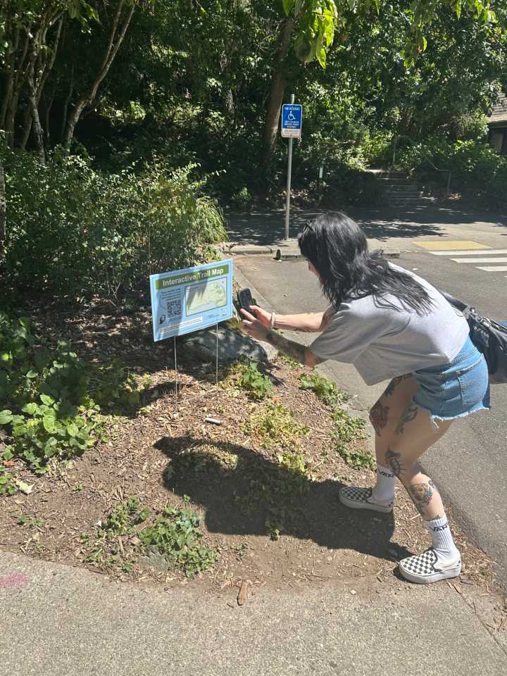
Seattle Parks and Recreation (SPR), in collaboration with Seattle IT, has unveiled an innovative interactive trail mapping system designed to make the City’s extensive park network more accessible and navigable for residents and visitors.
This new mobile GIS application leverages advanced Geographic Information Systems technology to provide parkgoers with detailed park maps, amenities, and activity information, along with GPS-accurate trail locations and routes across Seattle’s 485+ parks and greenspaces. The launch of this digital tool marks a significant milestone in the city’s ongoing commitment to data-driven park management and enhancing community accessibility.
Comprehensive Trail Information at Your Fingertips
The interactive platform provides detailed information for each trail,

 WKYT
WKYT The Spokesman-Review
 KPTV Fox 12 Oregon
 NonStop Local
 WNEP
WNEP Newsweek Top
 TODAY Pop Culture
 New York Post Opinion
 Tampa Bay Times Sports
 Raw Story