
 WBRC
WBRC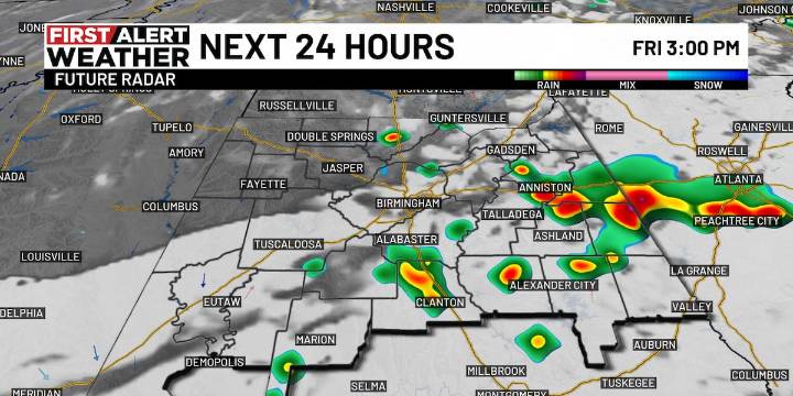
BIRMINGHAM, Ala. ( WBRC ) - Next 24 Hours: As we head into the evening, First Alert AccuTrack shows widely scattered thundershowers drifting south across Central Alabama. Locally heavy downpours will be possible with passing storms. Any activity should taper off tonight with some patchy fog possibly developing by Friday morning.
Friday will feature a partly sunny sky with afternoon highs in the upper 80s to low 90s. Once again, hit-or-miss storms could develop during the heat of the day tomorrow, especially in East Alabama. Rain chances look low by the time kickoff rolls around for SIDELINE with just an isolated showers possible.
Weekend Outlook: Temperatures will continue to run near to slightly below average in the upper 80s on Saturday and Sunday afternoons. The mornings wi

 WRCB-TV
 Chicago Tribune Crime