
 Everett Herald News
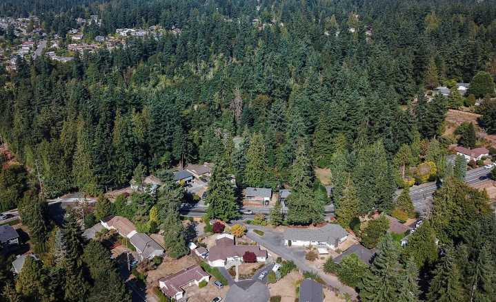
EVERETT — Since last week, Snohomish County and large parts of western Washington have been under a heat advisory, but depending on if where you live is surrounded by trees, that heat may have felt very different.
A new online map created by the Washington Department of Natural Resources and conservation nonprofit American Forests illustrates tree canopy statistics across the state, highlighting how socioeconomic disparities can play a role in shade cover and temperature hot spots.
Trees provide air and water filtration and shade sidewalks and houses, lowering utility costs and decreasing risks of heat-related illnesses, but some neighborhoods and population groups have historically missed out on these benefits due to systemic discrimination.
The map breaks neighborhoods down by cen

 America News
 Associated Press US and World News Video
 Cowboy State Daily
 WXYZ Detroit
 CNN Health
 The Denver Post
 Denver7 News
 The Travel
 Battle Creek Enquirer
 5 On Your Side Sports