
 Colorado Springs Gazette
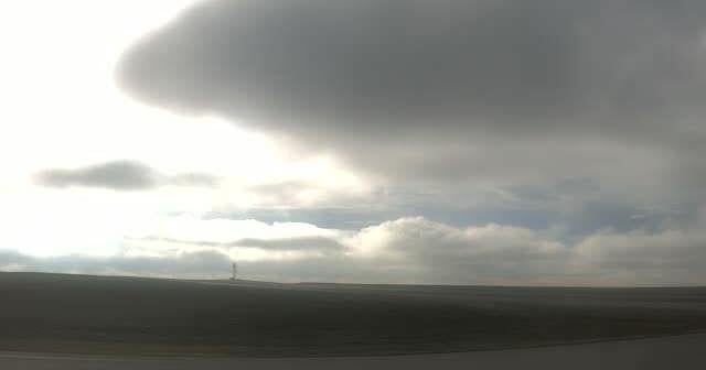
More showers and storms are expected across the Pikes Peak Region Wednesday, following a heavy day of rain that's going to continue for the rest of the week.
Storms will be more scattered compared to Tuesday, but heavy downpours, lightning and small hail will be present where storms do form, according to Gazette news partner KOAA. Highs today will rebound by as much as 10-15 degrees as rays of sunshine burn through the misty morning.
Rain and storms are expected to develop this afternoon, KOAA Meteorologist Alan Rose said.
The best chances for flash flooding will be north of Highway 50 and east of Interstate 25 during the afternoon and evening, according to the National Weather Service.
"Don't let the rain deter you," Rose said. "(Wednesday) should be a pretty nice day. Yeah, we have a

 Denverite
 The Denver Post
 Denver7 News
 The Pueblo Chieftain
 Daily Kos
 Law & Crime