
 ABC4 News
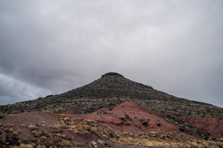
SALT LAKE CITY (ABC4) -- Happy Saturday, Utah! Monsoon moisture continues to creep northward bringing a mix of sun and clouds and unsettled weather for much of the state.
Isolated showers and thunderstorms are expected along the Wasatch Front and through the West Desert into the south, but more scattered activity will be seen in the higher terrain. Most of Utah is under a "Marginal" threat for flash flooding, but they'll be far and few between. The highest chance for flooding will be in southern Utah's national and state parks where the flash flood risk is in the "Possible" category. The surge of moisture and increased cloud coverage will keep daytime highs fairly mild. Temperatures will top out in the low to mid 80s for most, 70s for high terrain, and upper 80s to low 90s for the typical

 KSL Utah
 Mediaite
 Raw Story
 CourierPress Sports
 ABC11 WTVD Politics
 America News
 New York Post Video
 PennLive Pa. Politics
 NECN Providence