
 Chicago Tribune Politics
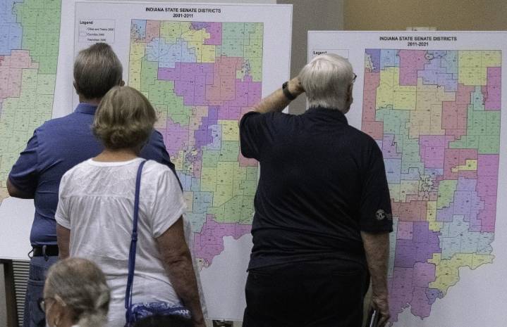
As Indiana legislators consider redistricting, Porter County officials are lukewarm to the idea of splitting up the county between two Congressional districts.
A map to potentially redistrict Indiana has been shared on social media by an X/Twitter account under the handle @erickson_68, and it proposes dividing Porter County by placing its northeast portion into the Second Congressional District and the southwest portion remaining in the First Congressional District.
The First District currently contains all of Lake and Porter counties along with the northwest part of LaPorte County. Under a proposed map, the First District would include all of Lake County and the southern half of Porter County and then shift east toward Miami and Howard counties. The map also divides Marion County into t

 Raw Story
 AlterNet
 America News
 ABC 7 Chicago Politics
 NBC News
 FOX 5 Atlanta Crime
 New York Post
 Los Angeles Times Politics