
 Reno Gazette-Journal
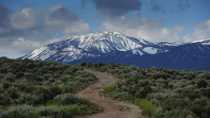
The National Weather Service's Tahoe-area forecast for this week contains two words that the region hasn't seen since June.
"Snow level."
With midweek storms set to hit Tuesday, the agency predicts the possibility of snow for some of the highest peaks in the Greater Lake Tahoe area. Snow levels are expected to be between 9,500 and 10,000 feet from Tuesday night into Wednesday.
That could bring snow to the top of more than a dozen peaks within the forecast area, including Mount Rose (10,776 feet), Freel Peak (10,881 feet), Jobs Peak (10,638 feet) and Slide Mountain (9,702 feet).
Only two Sierra passes could be affected, however: CA-120/Tioga Pass at 9,945 feet, and CA-108/Sonora Pass at 9,624 feet.
When do Lake Tahoe-area ski resorts open?
It's still far too early to begin waxing up t

 The List
 Raw Story
 The Babylon Bee
 PBS NewsHour Video
 AlterNet
 Political Wire