
 WKYT
WKYT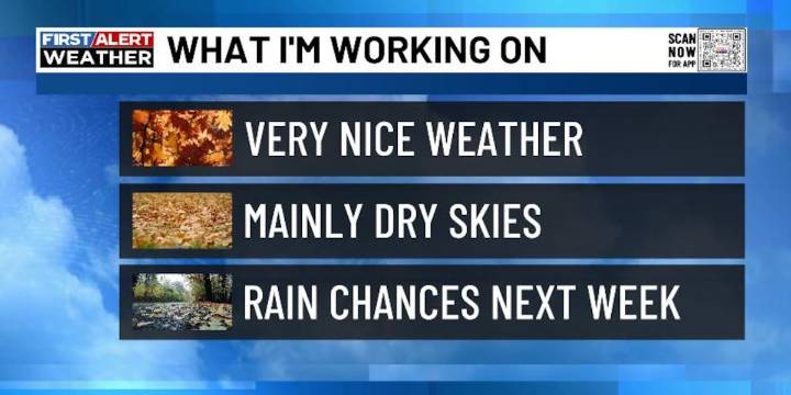
LEXINGTON, Ky. (WKYT) - It’s another day of starting out with record or near record lows across Kentucky, but the pattern is slowly beginning to change. This change will bring warmer temps in later in the week and there’s a chance those warmer temps can fire up a shower or storm.
Temps this morning will likely be back into the low and mid 40s for many areas. Highs this afternoon are into the pleasant 70s.
Upper 70s to low 80s will be noted Wednesday and Thursday as lows are still cool in the upper 40s and low 50s. There is a sneaky little chance for isolated showers and storms to go up during this time, especially in the west and central.
Low to middle 80s will be noted this weekend as we watch the northwestern sky for a few late weekend showers and storms. That chance

 Local News in Kentucky
 Raw Story
 ESPN MLB Headlines
 5 On Your Side Sports
 The Daily Beast
 AlterNet
 New York Post Video