
 The Seattle Times
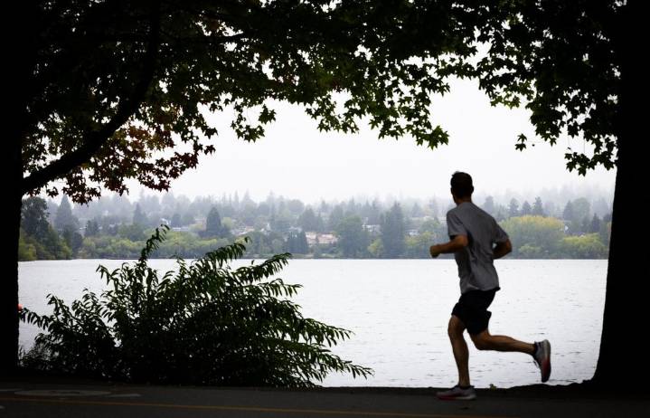
Seattleites looking to get outdoors now have a new way to map exercise routes, check if trails are paved and explore tree canopy coverage across the city’s parks.
A new interactive map launched by Seattle Parks and Recreation includes information about routes across more than 485 of the city’s parks and trail networks, like how trails connect across the city, whether they’re wide or narrow, flat or steep.
Although the online tool aims to make Seattle’s green spaces more accessible, users might quickly notice some of their favorite trails are missing or mislabeled. Elliott Bay Trail, for instance, isn’t marked on the map. Major sections of the Burke-Gilman Trail, a nearly 20-mile thoroughfare that’s popular among the city’s cyclists and runners, aren’t visible. Other sections are incorrec

 FOX 13 Seattle Crime
 People Crime
 Associated Press US News
 New York Post
 Raw Story
 Kitsap Sun
 New York Post Video
 Entertainment Tonight TV