
 The Bay City Times
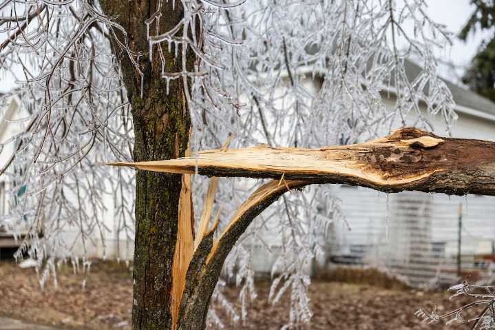
EMMET COUNTY, MI -- Hovering more than 3,000 feet above the ground, researchers flew low and steady to get a better picture of the destruction caused in Northern Michigan from the spring ice storm.
Researchers headquartered at University of Michigan’s Biological Station in Emmet County set out over the summer to capture aerial surveys of 10,000 acres of forest around the Pellston Airport.
Data collected from both the soil and canopy will give insights into the changes in forest structure over time, predict vulnerabilities to climate change and potentially inform future forest management.
From the plane, a sophisticated sensor system shot down lasers that bounced off trees reporting back data like the height of trees and the gaps between them.
The data from the sky and ground will creat

 KAWC
KAWC CNN
CNN Independent Record
 Associated Press US and World News Video
 VEGAS INC
 The Daily Sentinel
 The Advocate
 KTVU Latest
 New York Post Video
 AlterNet