
 WAAY TV
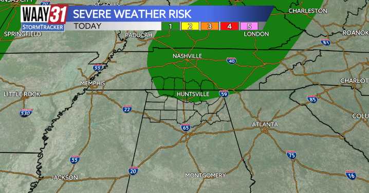
For the first time in a while, we are tracking three consecutive Severe Weather Risk days. All three days bring a level 1/5 severe weather risk, but even at that, the conditions each day differ greatly.
Monday features a level 1/5 severe risk for those of us north of the Tennessee River with gusty wind, plenty of lightning, and torrential rain as the greatest threats. Rain and storm coverage today will be very spotty, rather than widespread, but the storms that do develop will be strong. High temperatures today will sit in the mid-80s.
Tuesday is very similar but will feature temperatures in the upper 80s. Wednesday will yet again bring high temperatures in the mid-80s.
Wednesday's rain and storm coverage is widespread all across the area and lasts for much of the day and even into the

 KSLA News
 KCCI 8
 FOX 32 Chicago
 FOX 61 Weather
 News on 6
 ABC News Weather
 New York Post
 OK Magazine
 Cover Media
 Essentiallysports College Sports