
 Canadian Occupational Safety
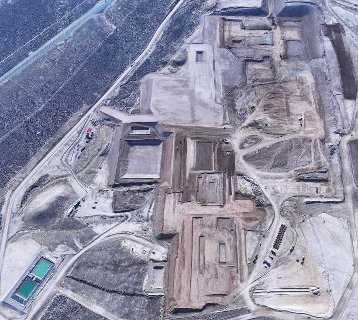
'These tools let companies assess risk before boots hit the ground, especially when it comes to sensitive ecosystems' says scientist
As demand for critical minerals intensifies, a decades-old U.S. satellite program is helping guide safer, more sustainable mine development — with important lessons for Canada’s heavy industries.
The Landsat satellite program, operated by the U.S. Geological Survey (USGS) and NASA, provides more than 50 years of continuous Earth observation data. The technology supports environmental planning and monitoring across sectors, including mining.
“Landsat really is the gold standard,” says Terry Sohl, branch chief of integrated science and applications at the USGS Earth Resources Observation and Science (EROS) Center. “We have 50 years of record, and that allows

 Raw Story
 FOX 10 Phoenix Crime
 NBC News
 The Daily Beast
 Associated Press US and World News Video