
 WAAY TV
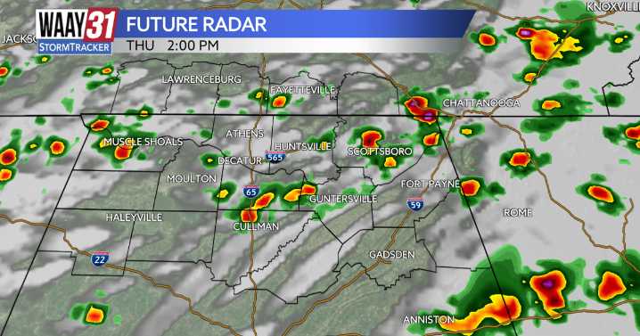
Showers and thunderstorms will continue to track through the area this evening, especially east of I-65. The overall severe weather risk is low, but an isolated stronger storm with heavy rain and gusty wind is possible. A cold front will move through by the end of the week bringing an end to any rain and a quiet weekend ahead.
For tonight, storms will taper off this evening. Additional showers are possible later tonight, but severe weather is not expected. Lows tonight will be near 70.
Thursday brings some more scattered showers and storms. Temperatures will warm into the low 80s for highs. By Friday we'll be tracking mainly some morning showers with highs again in the low 80s.
The weekend ahead looks pleasant with cooler mornings and lower humidity. Expect partly cloudy skies with afte

 WRCB-TV
 America News
 WAVE 3 News
 KSNB Local4 Central Nebraska
 Sarasota Herald-Tribune
 NBC12
NBC12 FOX Weather
 WSAZ NewsChannel 3
 HealthDay