
 Block Club Chicago
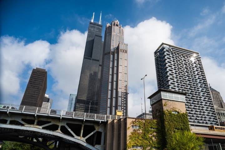
CHICAGO — What will Downtown Chicago look like in 20 years?
Last week, the city released its vision with a draft Central Area Plan, a blueprint for economic development and growth Downtown. Last updated in 2003, the plan charts a 20-year course to add tens of thousands of housing units, create jobs, convert vacant offices, cut carbon emissions and expand green space while boosting transit and Downtown culture.
It reflects two years of data collection and public feedback from more than 10,000 residents.
The Central Area spans 7.4 square miles, roughly bounded by Division Street to the north, portions of Ogden, Ashland and Halsted streets to the west, Cermak Road and 26th Street to the south and Lake Michigan to the east. That’s up from 6 square miles in the previous plan.
The area is ho

 Chicago Sun-Times
 Iowa City Press-Citizen
 ABC 7 Chicago
 CNN Crime and Justice
 FOX 32 Chicago Crime
 FOX News Videos
 CBS Texas
 The Daily Beast