
 Surf Coast Times
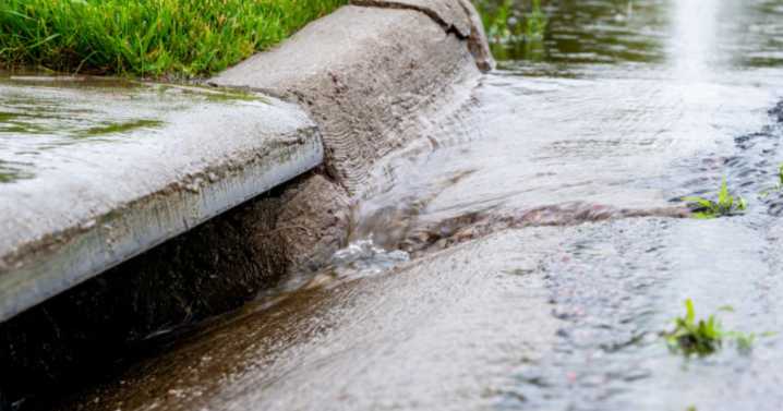
Tweet
A FIRST of its kind study has given the Surf Coast Shire insight into the stormwater network and associated flood risk in the region.
Using rainfall data from the severe storm that battered the region in January 2022 and other storm scenarios, flood hazard modelling has been completed for a variety situations, including rain falling from 30 minutes to 12 hours, in Angelsea and Aireys Inlet.
This modelling will be used to identify stormwater issues, plan for infrastructure upgrades and explore mitigation options.
While the study will not result in any changes to the planning scheme, understanding the flood patterns and risks will support the decision-making of both the council and property owners in relation to development, and will improve emergency management pla

 RadarOnline
 Atlanta Black Star Entertainment
 AlterNet
 The Daily Mash
 5 On Your Side Sports
 Iron Mountain Daily Life