
 WBRC
WBRC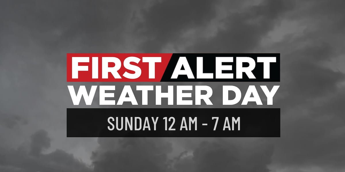
BIRMINGHAM, Ala. ( WBRC ) - FIRST ALERT WEATHER: We are still on track to see showers and storms this evening as the cold approaches from the west. As of 9 PM, our First Alert AccuTrack radar is dry, but the wind is picking up from the south. Overall, the severe threat remains limited tonight. Main concerns remain the same: gusty wind and heavier downpours. The tornado threat is low, but not zero.
TIMING: Late tonight, mainly after midnight, through 7 am Sunday, a cold front will move in from the west/northwest, sparking a line of showers and a few embedded storms. The main concern will come from heavy downpours and gusty winds upwards of 40 mph, which could lead to sporadic power outages. Tornado threat remains low, but not zero.
REMAINDER OF THE WEEKEND: As the front clears the

 America News
 New York Post
 KIMT News 3
 KSNB Local4 Central Nebraska
 KKTV 11 News
 WCPO 9
 Hawaii News Now
 KTAL-TV
 Santa Maria Times Local