
 ClickOrlando
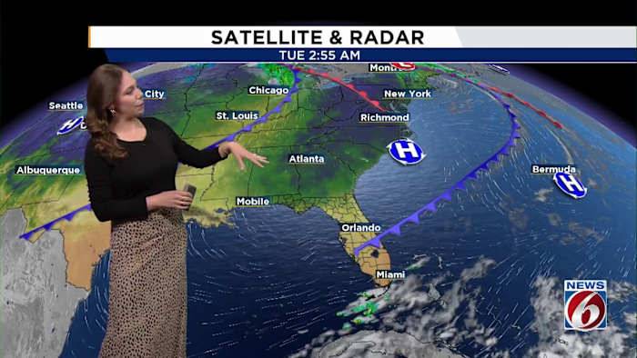
ORLANDO, Fla. – We’re heading into a mostly dry stretch of weather across Central Florida, but there are some slight changes on the way.
Tuesday
A weak boundary near the area will fade through the night as a small upper-level disturbance moves overhead. Most of the region will stay dry, with only a slim chance of a quick, isolated shower in the afternoon.
Dry air higher up in the atmosphere should prevent any thunderstorm activity.
With plenty of sunshine, highs will reach the mid to upper 80s and lows will drop into the 60s.
[VIDEO BELOW: Candace Campos pinpoints the tropics]
Wednesday and Thursday
A dry cold front will push through the area Wednesday as an upper-level trough digs across the northern U.S. The front will stall to our south by late week, keeping us mainly dry.
Wi

 People Top Story
 FOX 13 Tampa Bay Crime
 New York Post
 Orlando Sentinel
 People Crime
 WCJB-TV20
 First Coast Crime
 FOX 35 Orlando
 KNAU
KNAU Mediaite