
 Space.com
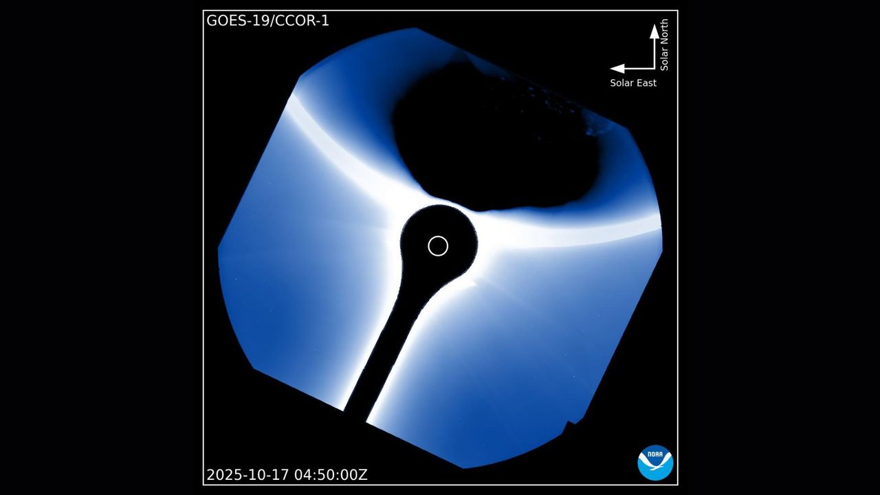
When the U.S. National Oceanic and Atmospheric Administration's (NOAA) weather satellite GOES-19 turns its gaze toward the sun, scientists don't expect to see our home planet. But there it was recently — Earth, drifting briefly across the edge of the image captured by the satellite's CCOR-1 coronagraph.
The photo, shared by NOAA's Space Weather Prediction Center on X, shows our planet silhouetted by the solar corona.
What is it?
The image was taken by GOES-19, the newest in the Geostationary Operational Environmental Satellite series operated by NOAA. Launched in 2024 and declared operational in early 2025, GOES-19 continuously monitors Earth's weather and the turbulent space environment surrounding it.
Where is it?
GOES-19 sits around 22,000 miles (36,000 kilometers) above Earth's eq

 America News
 IFL Science
 Raw Story
 Crooks and Liars
 New York Post Health
 WYFF Politics
 Verywell Health
 RadarOnline