
 The Oklahoman
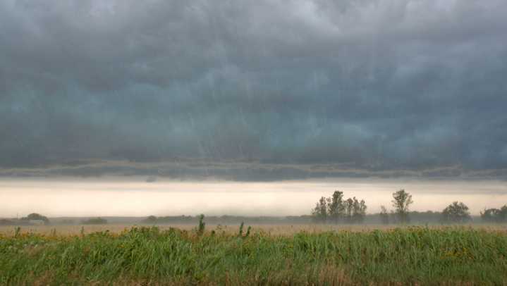
A slow-moving weather system crossing Oklahoma will bring several rounds of rain to the region starting on Thursday, the National Weather Service reports.
Heavy rainfall may lead to flash flooding, golfball-size hail, and damaging winds are all possible. The threat of tornadoes developing is low, the weather service reports, though the severity of conditions can always change as the storm develops.
Severe weather is expected to start between 7 p.m. and 5 a.m. in southern Oklahoma and eventually move northeast across the OKC metro between 10 p.m. and 3 a.m. Thursday night.
Here's what to know about potential risks that could form tonight through the weekend.
Oklahoma weather forecast
The National Weather Service in Norman forecast a marginal or slight risk of severe weather for much

 America News
 AccuWeather Severe Weather
 Eyewitness News 3
 KSNB Local4 Central Nebraska
 KGET 17 News
 NOLA
NOLA Ionia Sentinel-Standard
 CBS News
 Raw Story