
 WWSB
WWSB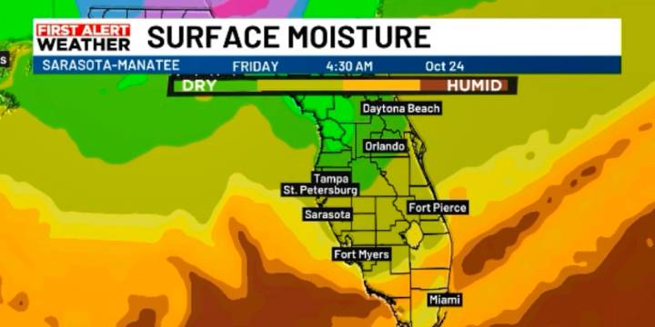
SARASOTA, Fla. (WWSB) - Lower humidity keeps the heat index in check today; a midweek front will drop dew points into the 50s.
Today drier air behind the last front delivers a more comfortable feel. Expect highs in the upper 80s, running a bit above normal, but with a lower heat index than earlier this week.
The high responsible for our sunny stretch drifts into the Atlantic, shifting winds from north to east. That onshore flow will gradually feed moisture back toward the Suncoast.
Monday and Tuesday the humidity ticks up just enough to support a few inland afternoon showers. Coverage stays spotty.
Wednesday into Thursday a stronger front arrives Wednesday. Dew points drop into the 50s. Overnight lows fall into the upper 50s; daytime highs hold in the mid- to upper 70s. Relative humidi

 FOX 51 Gainesville Crime
 CBS4 Miami
 FOX 13 Tampa Bay Crime
 NewsNation
 WESH 2 News
 ClickOrlando
 First Coast News
 RadarOnline
 KY3 Sports