
 WSAZ NewsChannel 3
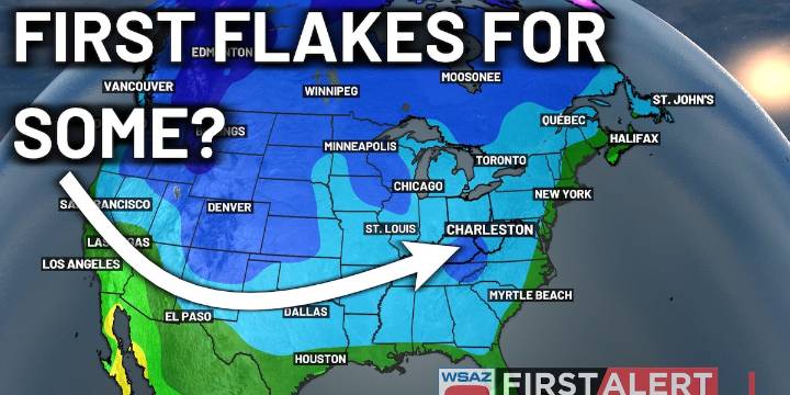
HUNTINGTON, W.Va. (WSAZ) - A strong area of low pressure is beginning to develop to the south and west of the region, driving the development of some showers over the Kentucky Coalfields so far. Thanks to high pressure to the north, most of the activity should remain to the south of I-64 during the next 48 hours.
As this feature works eastward, more moisture and energy in the sky to lift the moisture will work back in, driving the development of some widespread precipitation chances and gusty winds over the area Wednesday through Friday. Air may even be cold enough on Thursday and Friday for some mountain snow showers. No accumulations are to be expected out of this.
Meanwhile, Hurricane Melissa is bearing down on regions within the Caribbean, especially over Jamaica. As the category 5 s

 Local News in New York
 WAND TV
 FOX 13 Tampa Bay Crime
 Reuters US Top
 AlterNet
 WWSB
WWSB Cosmopolitan