
 WAAY TV
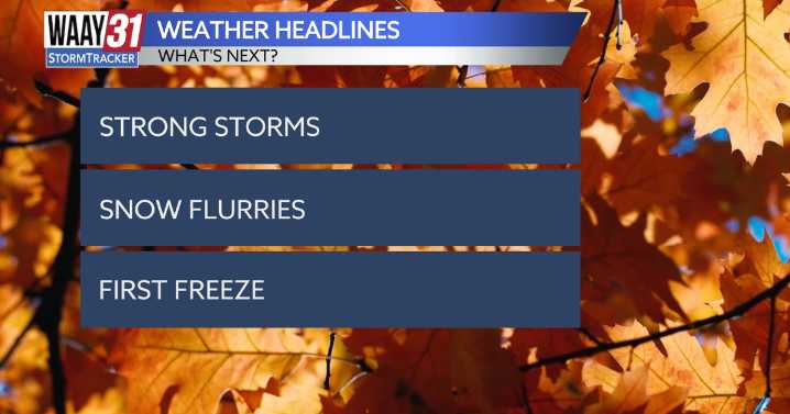
** LOW END SEVERE WEATHER RISK TODAY **
Multiple cold fronts are set to push through the Tennessee Valley this weekend, the first one arriving today. With it comes a limited risk of strong to severe storms this evening.
Highs reach to the low 70s by the afternoon. A few isolated showers are possible this afternoon, but as we head into the evening hours, a broken line of storms is expected ahead of the cold front. The main threats will be damaging winds. The tornado risk is very low—but never zero.
Partly cloudy skies with highs in the low 70s are expected Saturday, as we’ll be between cold fronts. A shower or two is possible Saturday evening, but most areas should stay dry.
Sunday marks the start of our major cooldown, with highs beginning in the low 50s and falling into the 40s by the

 WCNC Charlotte Weather
 KSNB Local4 Central Nebraska
 Dickson County Source
 WTVM News Leader 9
 KETV NewsWatch 7
 KOLO8
KOLO8 Fortune
 TIME
TIME NBC News
 Crooks and Liars