
 Democrat and Chronicle
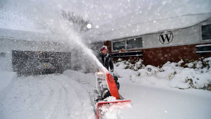
Kathy Hochul is directing state agencies to prepare as the season’s first lake-effect snow event looms for western, central New York and the North Country.
Preliminary forecasts from the National Weather Service show up to 6 inches of snow possible around the Buffalo area, with 7–12 inches likely in heavier lake-effect bands along the Chautauqua Ridge and Tug Hill Plateau. “Feels-like” temperatures could drop into the low-to-mid teens.
Following widespread rain on Sunday, a strong cold front will bring a changeover to snow Sunday night. Snow bands generated by the lake s will form southeast of Lakes Erie and Ontario and could persist into Monday night. There’s a chance that weaker snow bands reach farther east on Tuesday as winds shift.
Travelers in these regions should pay close

 LEX 18 News
 Times Herald-Record
 WCNC Charlotte Weather
 WNNY-TV
 The Columbian
 Talk 95.3 MNC
 WKYT
WKYT WAND TV
 KPTV Fox 12 Oregon
 NewsChannel 5 Nashville