
 The Oregonian Public Safety
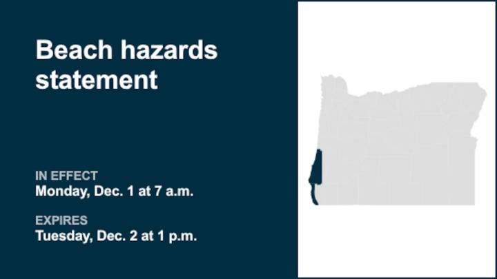
On Friday at 10:45 a.m. a beach hazards statement was released by the National Weather Service valid from Monday 7 a.m. until Tuesday 1 p.m. for South Central Oregon Coast and Curry County Coast.
"High risk of sneaker waves expected," explains the weather service. "As this long period swell arrives early Monday, it could coincide with the high tide expected around 8am PST Monday. While sneaker waves can occur at any time, the greatest risk is on an incoming tide. Please be aware of the tides if venturing out onto the beaches."
"Sneaker waves can run up significantly farther on beaches than normal, including over rocks and jetties. These waves can suddenly knock people off of their feet and sweep them into the ocean. The waves can also move logs or other objects which could crush or trap

 KPIX 5
 The Mercury News
 WILX News 10
 Sweetwater Now
 WCBI-TV
 The Baltimore Sun
 The Des Moines Register
 CBS News
 WCTV
WCTV WMTV NBC15
 Raw Story