
 WMTV NBC15
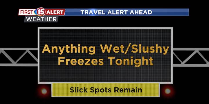
Below-normal temperatures with occasional light snow through the week.
Monday’s snow chances are higher, but snowfall will stay light — generally up to 2 inches, highest near the WI/IL border.
Mid- to late-week brings more brief light snow events and another blast of colder air, with a slow warm-up next weekend.
MADISON, Wis. (WMTV) -Clearing skies tonight behind a departing low will allow temperatures to drop sharply into the single digits, especially with snow already on the ground. More clouds will arrive late as a weak system approaches from the southwest. That system will bring a quick round of light snow Monday afternoon and evening, mainly across southern Wisconsin. Click Here for Interactive Radar
What’s Coming Up...
Snowfall Monday will be limited, as the system lacks stron

 Idaho News 6
 KOLR10 News
 CBS 58 News
 NBC26
NBC26 Raw Story
 The Hill
 NBC News NFL
 AlterNet
 Elle
Elle