
 Chronicle Live
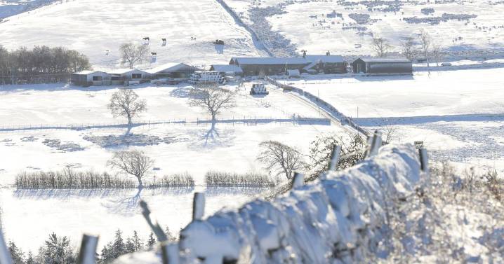
More snow is expected to fall next week across Northumberland and the wider North East (Image: Craig Connor/ChronicleLive)
The North East could be hit with more snow and freezing temperatures from next week. Maps and charts, based on the GFS model, show the UK faces wintry conditions and a drop in temperatures on around December 9 and 10.
Maps and charts compiled and projected using Met Desk data, on WX Charts, show snow from Scotland to northern England, with temperatures plunging to -2C - 9C lower than the average of 7C for this time of year. According to Birmingham Live , snow will be falling at around 5mm/hr, with areas at risk including the North East, North West and northern Midlands. Snow will hit on December 9 into December 10, with flurries in the Pennines in particular -

 Birminghalm Mail
 Sunday Express
 Birmingham Live News
 Britain News
 Daily Express
 Mediaite
 Raw Story
 New York Post
 New York Post Video
 ABC30 Fresno World