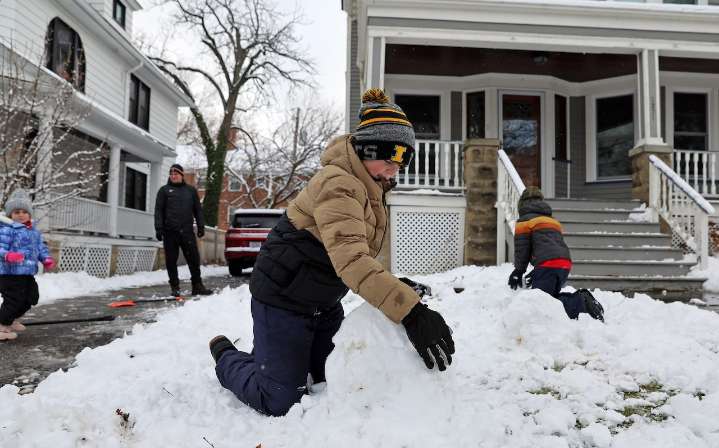
CLEVELAND, Ohio — Northeast Ohio is in cleanup mode after a morning snowstorm, but buckle in for a sharp blast of cold air later this week.
Tuesday’s winter storm slowed down the morning commute and left behind 2 to 6 inches of snow across the region.
The only remaining issue Tuesday afternoon is lake-effect snow, which could cause some slick spots and reduced visibility as a band of snow moves onshore from Lake Erie.
Any additional accumulation should be minor, generally around an inch, though short-lived heavier bursts cannot be ruled out, according to the National Weather Service in Cleveland .
High pressure builds into the Great Lakes Tuesday night, bringing mainly dry and seasonably cold weather for Wednesday. Overnight lows will dip into the low to mid 20s.
Skies will be mos

 cleveland.com

 WFMJ-TV
 Raw Story
 The Hill
 Cover Media
 W Magazine fashion
 AlterNet
 Montana Sports
 The Conversation